Friday 19 April 2019
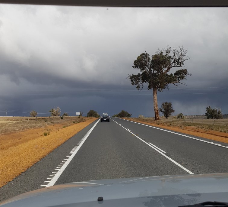
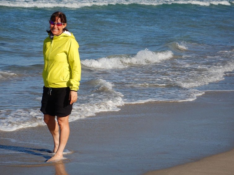
We drove in two cars with four people and bikes and luggage from Perth down to Denmark, 6 degrees average temperature, rain and sleet. Thank goodness we weren’t riding or camping out today! We stayed with family in Denmark in real beds.
Saturday 20 April 2019
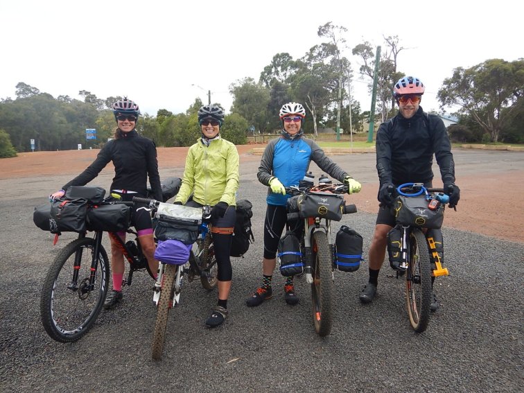
After breakfast in Denmark at Mrs Jones cafe and a lift to Walpole, we unloaded all our bikes and gear and got everything attached to the bikes in freezing conditions. At least it wasn’t raining like the previous day on the drive down. I also was starting to get a cold which was not ideal.
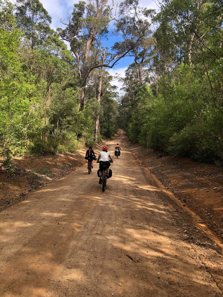
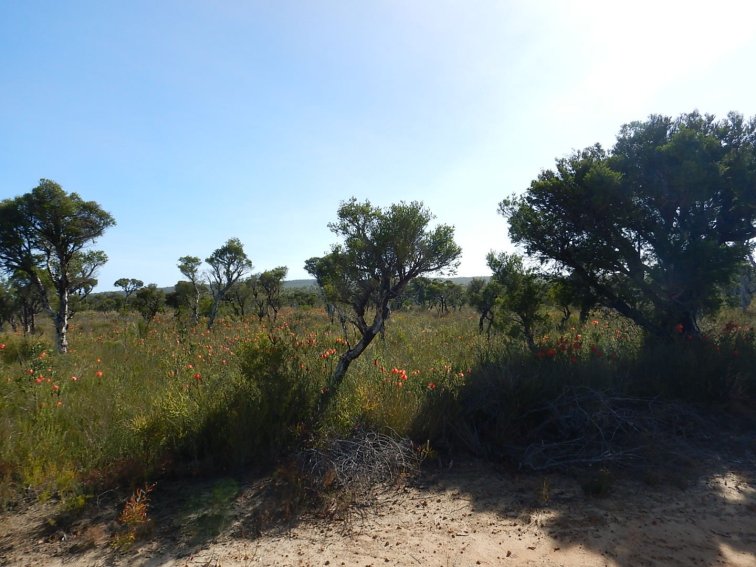
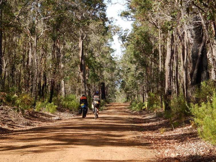
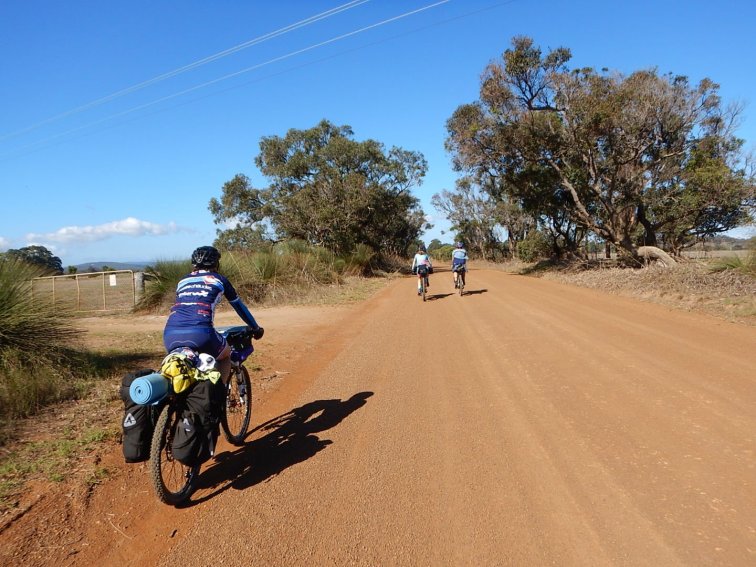
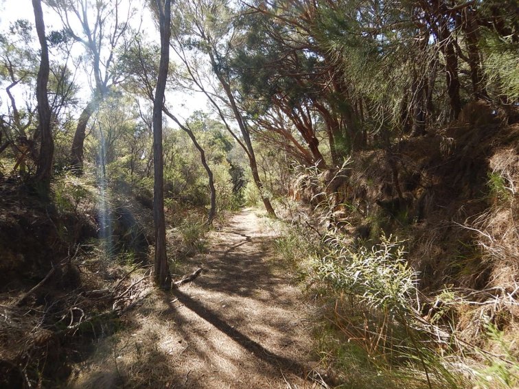
We left Walpole at about 10:30am on a coastal track winding through tall grass and trees. After about 4km we crossed the South Coast Highway, and we immediately entered the forest with beautiful tall trees all around. It was a bit of a switchback climb here, but a gentle enough gradient to enjoy. At about 12km we went close to Nornalup, and from here to 19km we followed the Frankland River on an undulating section of double track. We stopped at about 15km for a lunch break. It was already after 12pm – we had quite a few stops in the first 10km sorting out luggage fine tuning to stop things rubbing.

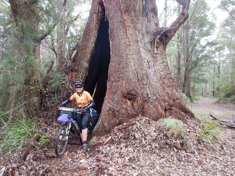
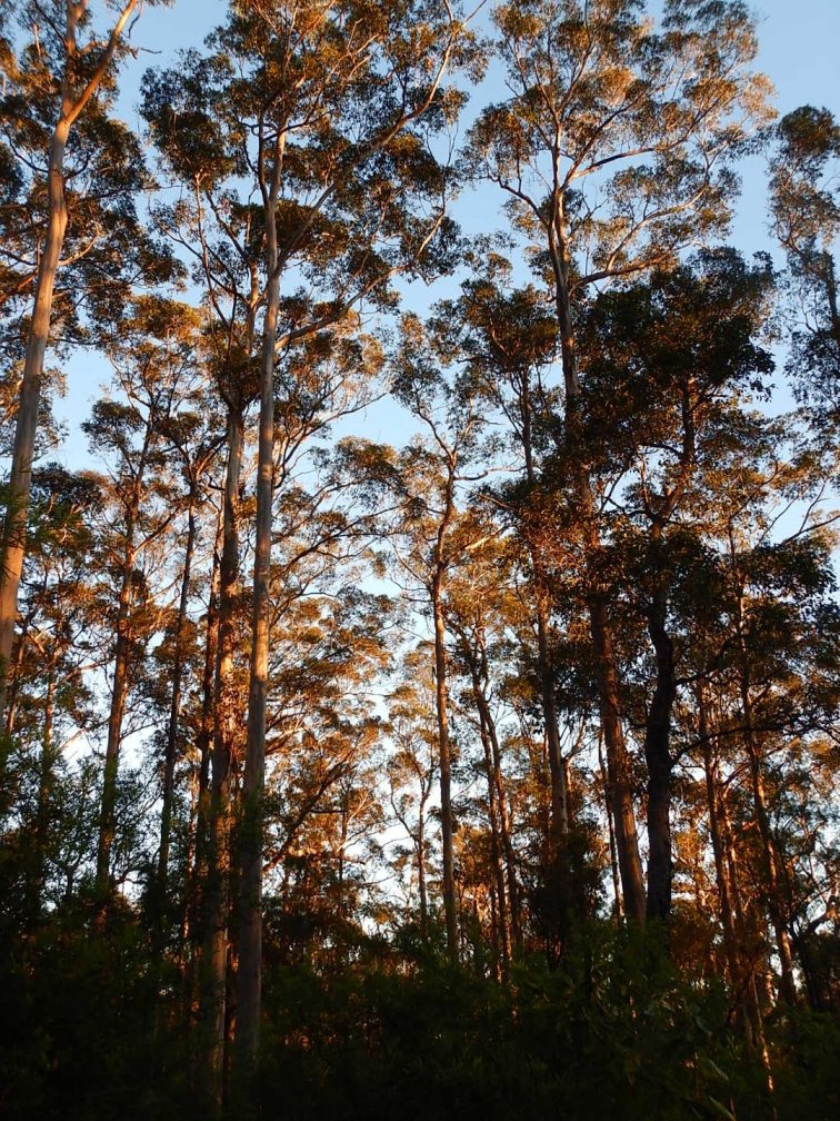
After a delightful picnic lunch, we were faced with probably the toughest climb of the day. It got up to at least 11% gradient, which is a lot with 12+kg of luggage. Those of us with easier gears were able to ride up the climb with some determination. There were a few tough climbs in succession, all on double track/ wide trail. We continued on these unsealed roads through the forest, briefly venturing onto a sealed road right near the Valley of the Giants treetop walk at about 28km. We had seen a few spectacular tingle trees along the ride, with huge burnt out hollow bases.
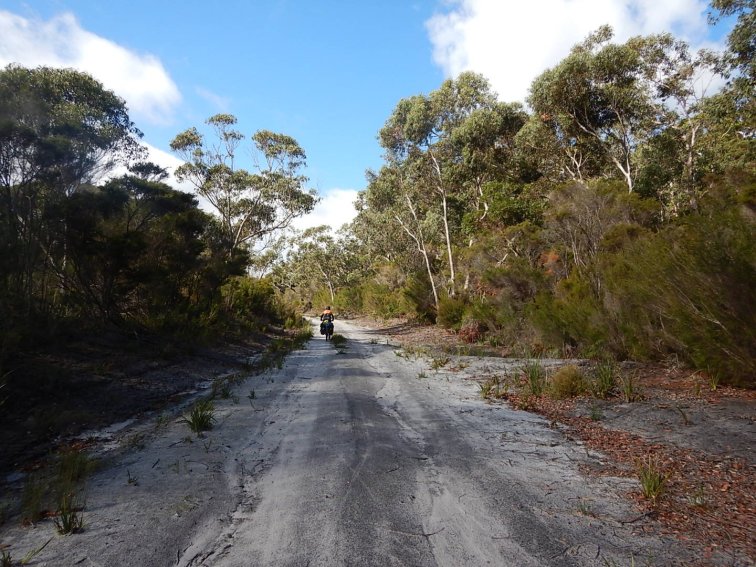
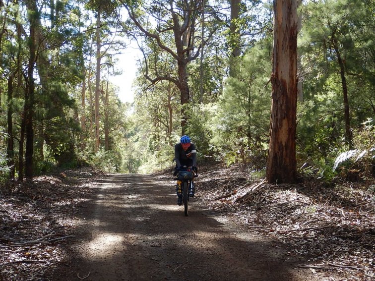
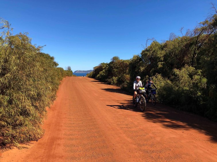
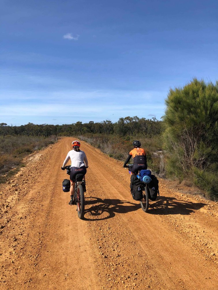
During the ride we also encountered two bridges made of huge logs laid next to each other. The logs had quite large gaps between them, so luckily the trail deviated around on more modern bridges. We started to head into farming countryside, turning inland (north) and the trail got more open and sandy and a bit corrugated. The last 15km or so was gradually uphill, heading inland on unsealed roads with a mixture of sand and corrugations. Turns out it was a good thing it had poured rain the day before, as the sand was compacted rideable.


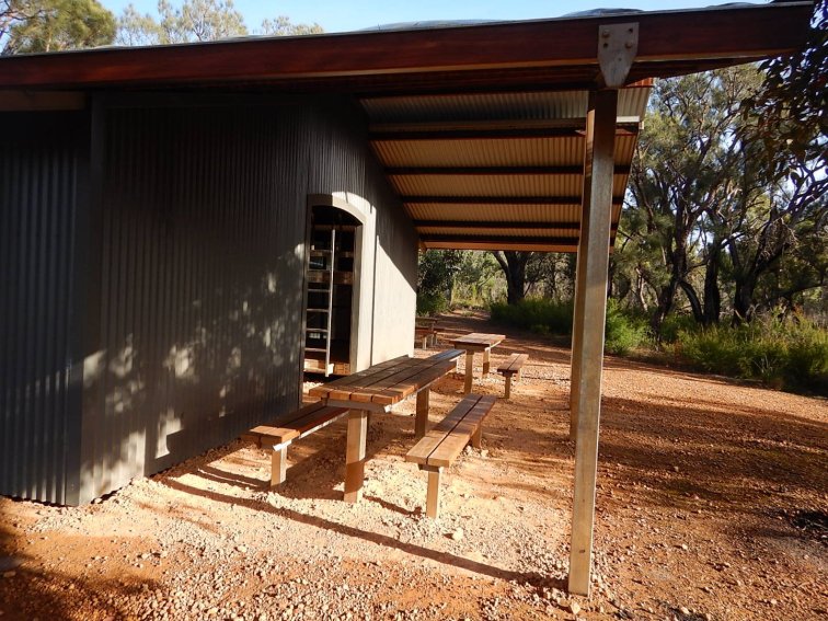
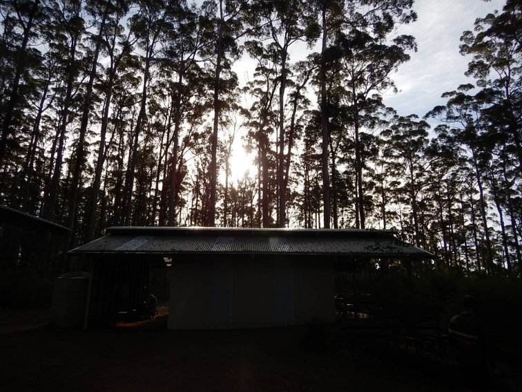
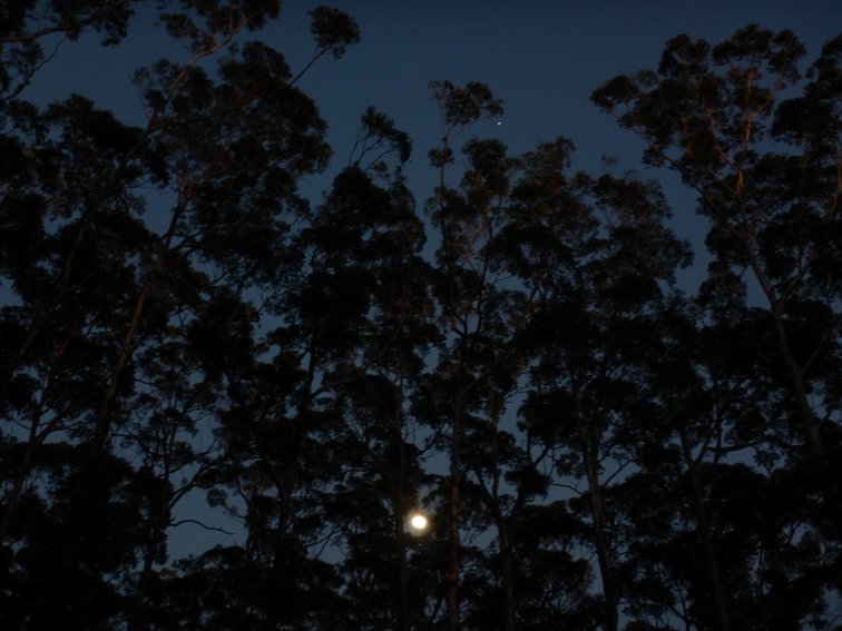
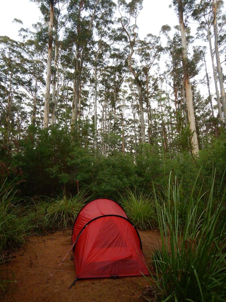
Eventually we arrived at the campsite at 53km, at about 5pm. There was a family with two kids already at the hut, they were riding the same section of trail as us. We all set our tents up away from the hut, then got dinner. It was an incredibly calm evening, no wind, very quiet. The weather during the day had been good, no rain at all, just quite cold. And very cold overnight! I was snuggly warm in my tent but did have on more layers than usual, including track pants and long sleeve merino top all night.
Distance: 53km
Elevation gain: 1000m
Total time including all stops: 6.5 hrs
Average moving speed: 11.7 kph


Sunday 21 April 2019
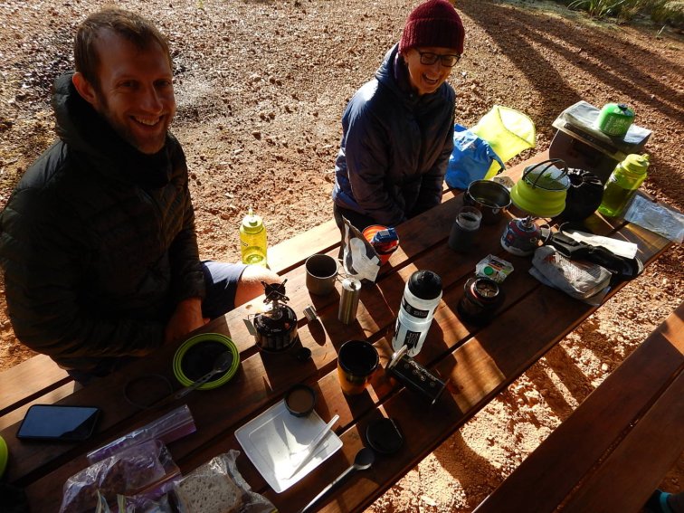
We set off at 10:07am – Annie and I got up last at 7:30am and were ready first at around 9:30am. Those who were up before 6:30am were last ready! We headed out of the camp site then downhill on a road and onto some sand. Thankfully due to the rain a couple of days ago the sand was quite compacted. There was a lot of sand in the first section of trail today. Then there was a lot of corrugated gravel road. We even had several cars passing us on the roads today. And our lunch stop (12-1pm) was along the side of a road, not very picturesque and a couple of cars went past as we ate. It wasn’t too dusty thankfully.
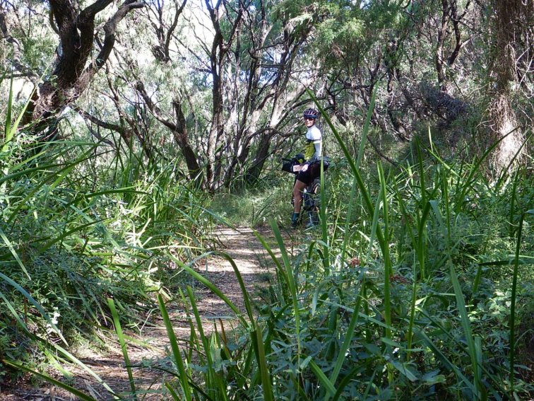
There were a few deviations off the dirt roads onto singletrack through the bush, which kept us sane. Then the last 10km or so was pretty much all singletrack and all uphill. The first 6km or so was gently uphill through forest on a nice trail, then the last few kilometres were more steep uphill on a very narrow trail. A bit more technical and harder effort required – the last stretch into the camp always seems to be quite tough! The singletrack section was much more scenic and interesting to ride though. We finished about 3:45pm after 55km. It was much warmer today with a temperature range of 14-23 degrees (previous day max 14 degrees).

The camp site was lovely, at the top of a mount surrounded by tall trees.
Distance: 55km
Elevation gain: 750m
Total time including all stops: 5.5 hrs
Average moving speed: 13.1 kph
Monday 22 April 2019
We started riding 9:38am, half an hour earlier than the previous day as Greg was in the hut and didn’t have his full camping gear to pack up. Ange was first ready, a huge turnaround from the previous day 🙂
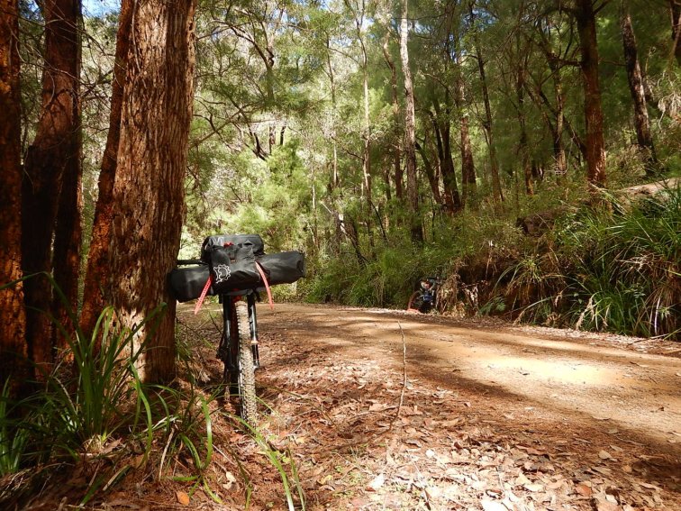
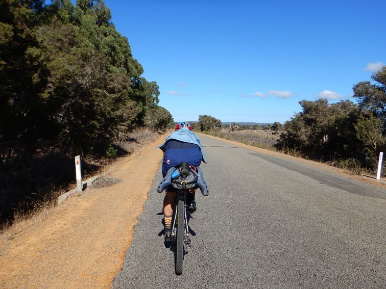
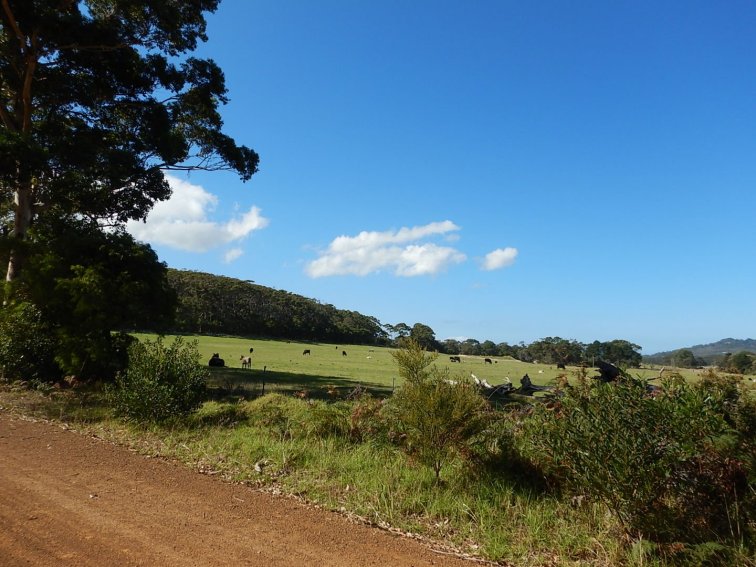
Leaving the camp we were on singletrack descending through bush for the first couple of kilometres, then it was onto an unsealed road for two kilometres before we turned right onto Scotsdale Rd. We continued on (bitumen) Scotsdale Rd for about 3km (uphill) then turned left onto an unsealed road, which continued uphill for another few kilometres. There were quite a few sealed and unsealed roads today, but it was more enjoyable than yesterday as the gravel roads weren’t corrugated. Plus it was fun because we were pretty close to Denmark the whole day, in areas that I was familiar with, but I also got to explore some new roads and trails that I’d not done before. Although it had started off quite cool in the bush, it was a sunny day and got to a quite warm maximum of 28 degrees.

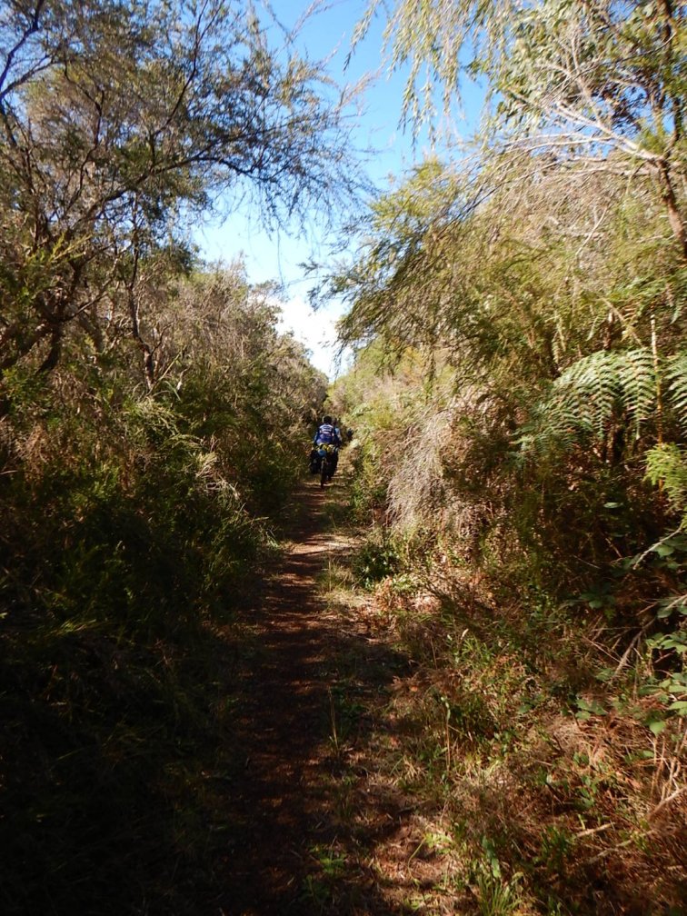
At the end of McLeod Rd we crossed South Coast Highway and turned right onto a lovely stretch of singletrack that was parallel to the highway on the southern side – it was gravel tyre friendly and very fun!

Then onto another couple of roads that took us down to the coast at Greens Pool. We continued on (corrugated) gravel roads with lots of cars and wound through the beach car parks, then stopped at Waterfall Beach and had a delightful lunch on the beach.

After lunch, we got onto a track that wound through the dunes to Lights Beach, which was quite a nice trail. It was mostly red gravel with some sections of interlocking plastic mesh over the sandy bits, through some dense vegetation.
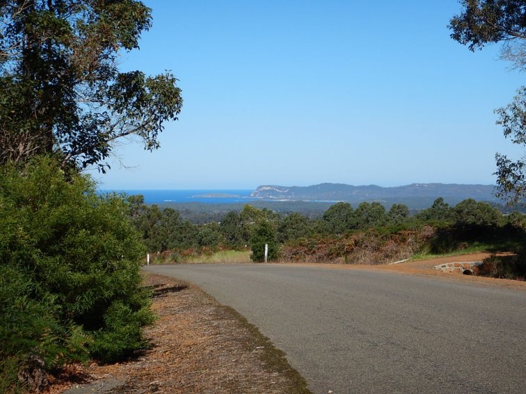
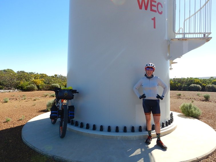
At Lights Beach we linked into the Wilderness Ocean Walk (WOW) trail, which was mostly sealed fine blue metal and very undulating! Lots of short steep climbs, which was an effort with my luggage and sickness (cold). Good thing we had spectacular coastal views to distract us from the effort. After a very long 6km we finally reached the wind turbines at the end of the trail, it was a relief.


The rest of the day was a bike path alongside main roads into Denmark town. We finished in town at about 2:30pm – then it was a bakery stop for pie and milk (to supplement lunch/ tide us over till dinner) and supermarket stop for extra food supplies for the next 1.5 days. Meals for the rest of the trip will be much more fun and fulfilling!
Distance: 49.5 km
Elevation gain: 600m
Total time including all stops: 5:45
Average moving speed: 14.9 kph
Tuesday 23 April 2019

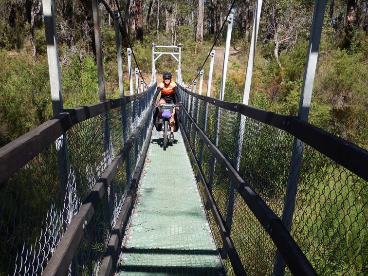
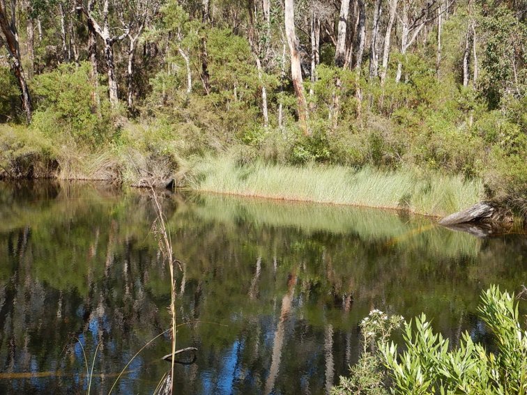
After a good night’s sleep in real beds, we had breakfast at Mrs Jones cafe and left Denmark about 9:15am. We headed over the pedestrian/ cycle bridge at the caravan park and then followed the heritage trail along the side of the inlet. The trail was lovely, not too wide, lots of vegetation and views of the inlet.

The trail then turned onto some corrugated gravel roads, everyone’s favourite. I have developed a technique for riding the corrugations – I increase my speed a bit and look for the smoother patches. If there are no smooth lines, I try the lines with more loose gravel as often these parts are less corrugated. Today’s route was on a lot of corrugated roads, gravel roads and quiet bitumen roads, which were not that exciting.

There was a nice bit of singletrack alongside the South Coast Highway, which was a nice change. We then crossed the highway down to Youngs Siding, mostly on roads before another stretch of singletrack/ trail alongside the Lower Denmark Road. We stopped at the end of this stretch and had our picnic lunch. I had a quick cook lunch of packaged Mexican rice with tinned tuna, which was a nice change and much more satisfying than the rice cakes with peanut butter that I’d been having the first three days.

After lunch we got to the hardest climb of the day, which was probably about 5 km long but not too steep. I took it pretty steady as my lunch was still digesting. Then it was onto a couple of roads before we crossed the Lower Denmark Rd again and veered off the official Munda Biddi trail to the Cosy Corner camp site. We got a tent spot with the family that we’d been following/ sharing the Munda Biddi huts with since we started, which was nice. And we finished about 1:30pm, so there was plenty of time for a beach walk in the afternoon.
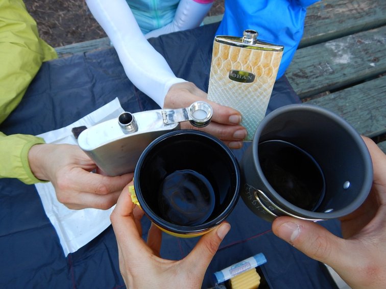
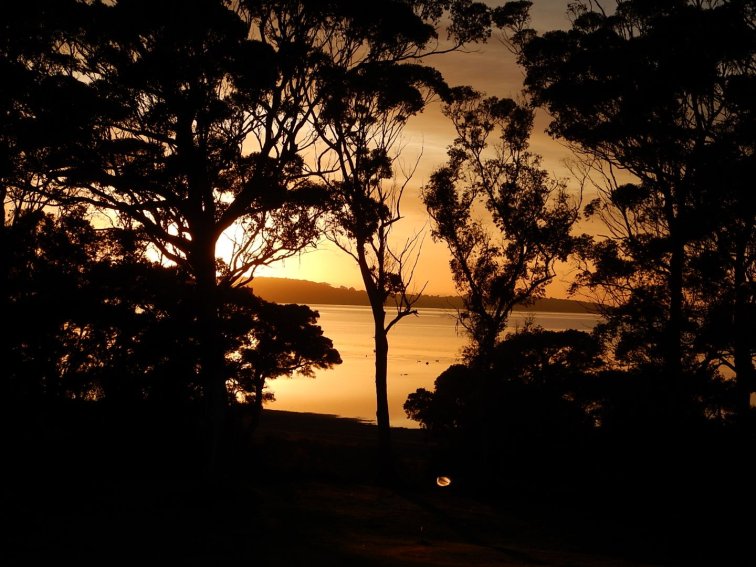
We had a feast for dinner – red wine, cheese and crackers, and chocolate for starters. Then rehydrated rice with Bolognese sauce. As we finished dinner (around 6pm) the clouds started to come in, which meant it didn’t get too cold overnight. It was lovely going to sleep with the sound of the ocean just over the dunes.
Distance: 55 km
Elevation gain: 330 m
Total time including all stops: 6 hrs
Average moving speed: 17 kph
Wednesday 24 April 2019
Good thing today was a short easy day, as the king of faff was back! Admittedly we did have an indulgent breakfast of pancakes with bacon, banana, syrup and coconut yoghurt and used pretty much all of our dishes. But the rest of us managed to get packed up and ready by about 9am. Then we had a nice chat about all kinds of things while we waited an hour for Greg to gather every single item of gear and get it packed.
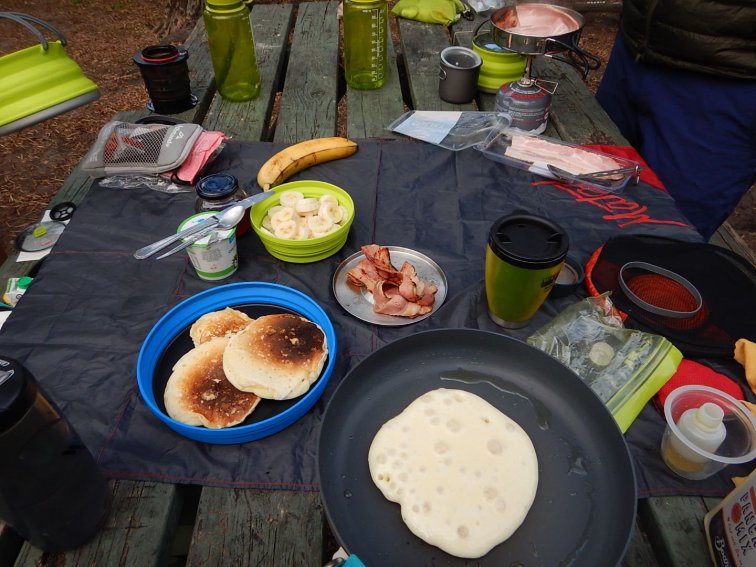
We finally started at 10am, but didn’t get far before the first stop as we all needed to get water at the Cosy Corner General Store. There had been no water at the camp area. For the night before, we were lucky that the family we shared a camp site with had gone to the general store for dinner so they kindly took some of our water bottles and filled them up. This gave us just enough water for rehydrating dinner, making coffee and pancakes for breakfast, and rinsing our dishes.
After the water stop, we retraced our wheel tracks from the previous day to return to where we had deviated from the Munda Biddi. Then it was onto an unsealed corrugated road! After a few more unsealed and sealed roads, and a section of horse track through paddocks, we got onto a really fun shared singletrack trail through the bush, parallel to Lower Denmark Rd. You would never know it is there but it was a few kilometres long and lovely. We then passed through the tiny town of Elleker and onto Old School Rd (what a great name!). We then had an extended stretch on the bitumen on Lower Denmark Rd, which wasn’t that fun being amongst the traffic. It was great to turn off here and back into quiet roads through farmland.
As we got close to Albany, the Munda Biddi signs became uncharacteristically confusing. We consulted our hard copy maps and GPS maps and a local guy on a bike and eventually figured out where we had to go – we had to lift our bikes up some stairs and over a railway line! My wrists were a bit stuffed from the flat handlebar position so I stood looking at my bike in disbelief for a few minutes trying to muster the will to manhandle my bike, then Greg was a gentleman and carried my bike for me.
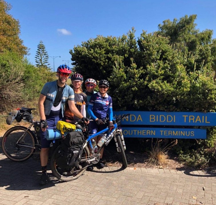
We had to cross a busy arterial road and ride alongside it for a short stretch in a bike lane. Then I was relieved to see the Munda Biddi sign directing us off the main road… until I realised it went up a hill that looked like it never ended! I couldn’t believe it, right at the end of the trail. The hill wasn’t too bad after all, and we were then on back roads following a zigzag of signs to the main street of Albany. We could see the Munda Biddi terminus but the signs seemed to direct us the wrong way down a one way street. Well, we couldn’t find any other way so we took a chance and wound our way through a confusing car park to eventually find the big sign indicating the end of the trail. We made it!
Distance: 33.5 km
Elevation gain: 160 m
Total time including all stops: 2.5 hrs
Average moving speed: 16.9 kph
Closing Remarks
I started my adventure to ride the Munda Biddi, in sections, in January 2015, and completed the last section in April 2019. All up, I rode 24 days on the trail. Although some of them were short days, this is essentially how long it takes if you stay at each hut/ town, which is typically around 50 km each day. We took a relaxed approach, stopping for a sit down lunch each day and aiming to finish by 4pm to set up camp before it got dark. We also started late, at 9-10am each morning, as getting ready and packing up camp each morning typically took three hours. I used an average speed of 10 kph (excluding the lunch stop but including incidental stops for snacks, path diversions etc) for logistics planning, and this worked reasonably well.
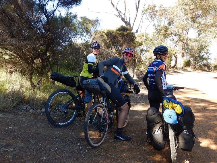
It was great to share this adventure with a few different friends, encouraging some to get out of their comfort zone and introducing them to bike camping. It was also wonderful to have the company and reassurance of others to share the ups and downs of the journey with.
I would encourage anyone to get out on this trail for a day trip, an overnight trip or an extended escape.